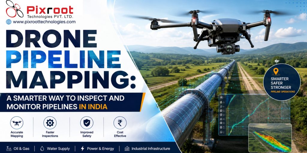
Drone pipeline mapping refers to conducting surveys of the pipeline routes with the help of UAVs that are fitted with camera equipment, sensors, and mapping technology. As opposed to the traditional ground surveys, drones are more efficient at collecting aerial data about the pipeline routes.
The companies operating pipelines for oil, gas, water and industry in India can apply drones for pipeline mapping and monitoring to conduct routine inspections, check the progress of the construction works, map the route, and assess the surroundings.
However, it is important to note that the drone application in India should be performed according to all relevant regulations and standards.
Why Drone Pipeline Mapping Is Important
Pipeline networks frequently cover difficult terrain such as remote lands, agricultural regions, industrial territories, river beds, and others. Traditional methods of pipeline inspection may require a lot of time, manpower, and physical access.
Drone pipeline mapping provides an efficient way to collect aerial imagery and geospatial data about a particular pipeline route. This information can help the inspection team to evaluate the current state of the visible infrastructure and surroundings.
Featured Snippet Answer: What is Drone Pipeline Mapping?
Drone pipeline mapping refers to an aerial surveying technique that involves the use of drones to collect imaging and geospatial data in order to assist with mapping and inspection of pipelines.
How Drone Pipeline Monitoring Works
A conventional drone pipeline monitoring project starts with the planning of the mission. The team undertaking the inspection identifies the pipeline route, survey area, flight parameters and data products required.
Depending on the type of project which is going to be done, the use of drones may be able to offer the following services:
• Image Visualization
• Aerial Video Recording
• Ortho maps
• 3D mapping
• Geospatial inspection data
• Temperature Imaging provided there are appropriate equipment and environmental conditions.
The information collected will always be analyzed by the right personnel in order to establish whether there are any defects or issues to investigate. The data acquired through the use of drones should complement engineering works and integrity management but cannot replace them.
Benefits of Using Drones for Pipeline Mapping
Quick Survey of Large Extents
Drones can cover long stretches of pipelines and large project extents without having to access all points of inspection on the ground by inspection teams.
Access to Difficult Terrains
Pipeline routes might pass through hard-to-access terrain or remote areas. An aerial inspection can offer visual inspection without exposing field personnel to unnecessary difficult terrains.
Quality Map Data
Modern drones can generate high-resolution imagery and geospatial data to support documentation, planning and comparisons of site conditions.
Effective Observation of Surrounding Conditions
Drone-based pipeline monitoring can enable observation of changes near the pipelines, which might include construction activities, vegetation growth, erosion or other site conditions that require attention.
Uses of Drone Inspection of Pipelines in India
There are a number of pipeline-related uses of drone technology in India.
Mapping of Pipeline Routes
Aerial mapping can be used to document pipeline routes and surrounding landforms for documentation, planning and project maintenance purposes.
Monitoring of Construction Activities
Aerial mapping can be used during the construction stage of a pipeline project to document progress of work.
Visual Inspection of Pipelines
Scheduled flights can document the status of above-ground infrastructure of pipelines at various points.
Monitoring of Pipeline Right-of-Way
Aerial surveying using drones can help in observing visible changes in a pipeline corridor.
Surveys of Remote Infrastructure
Use of drones can prove effective in cases where ground access takes considerable time and effort.
Choosing the Right Drone Pipeline Monitoring Solution
The most suitable inspection method depends on the type of pipeline, topography, project goals and required data quality.
Before choosing a drone service, take into account the following factors:
Flight Planning and Safety
The flight should be planned based on the site, airspace, hazards and permissions.
Sensor Selection
RGB camera, thermal sensor and other payload are suitable for specific tasks. The suitable sensor should be chosen based on the inspection goal.
Data Accuracy
Projects that require mapping results should set the level of accuracy, control and deliverables before the survey begins.
Experienced Data Processing
Collecting images with the help of drone is not the only task to perform. Processing and analysis of images are necessary for getting results.
The drone regulations in India are governed by the appropriate government bodies such as DGCA and the Ministry of Civil Aviation. The businesses need to check the current rules before performing operations.
Why Pixroot Technologies for Pipeline Inspection?
Pixroot Technologies can assist the companies in exploring a possible use of drones for pipeline inspection, mapping and aerial monitoring. Professionally organized drone flight can provide quick visibility of the site and structured data collecting for the project.
In order to get the best results from the pipeline inspection project, it is necessary to start with objectives: what should be inspected, what areas are needed, what data is required and how it is going to be used.
Key Takeaways
• Drone pipeline mapping enables collection of aerial and geospatial data from pipeline corridors.
• Drones for pipeline monitoring help to perform visual inspections and observe changes in site conditions.
• Unmanned aerial vehicle surveys may facilitate access to inaccessible and hard-to-reach locations.
• The choice of sensors and data outputs depends on the project goals.
• Drone usage in India has to conform to aviation and regulatory requirements.
• Mission planning and data processing need to be performed professionally.
FAQs
What is drone pipeline mapping?
Drone pipeline mapping utilizes unmanned aerial vehicles for gathering aerial imagery and geospatial data from pipeline corridors for mapping and inspection and monitoring purposes.
How can drones be used for pipeline monitoring?
Drones can help to obtain images and video of pipeline corridors and surroundings, which will allow reviewing conditions of visible infrastructure, changes in the routes and other areas of interest.
Are drones suitable for long pipeline surveying?
Yes. Drones are capable of conducting large-scale surveys along pipeline corridors and selected route segments. Coverage range would be based on different considerations like UAVs capacity, the landscape, regulatory environment, and mission and operation conditions.
Are drones suitable for pipeline inspection in India?
Yes. Drone technology is useful for pipeline applications in India considering the mapping and inspection of infrastructure. All activities should conform to requirements.
Which information can be collected by a drone when it performs pipeline inspection?
Depending on the equipment and mission, the information can include photos, videos, maps, 3D-models, and thermal photographs.