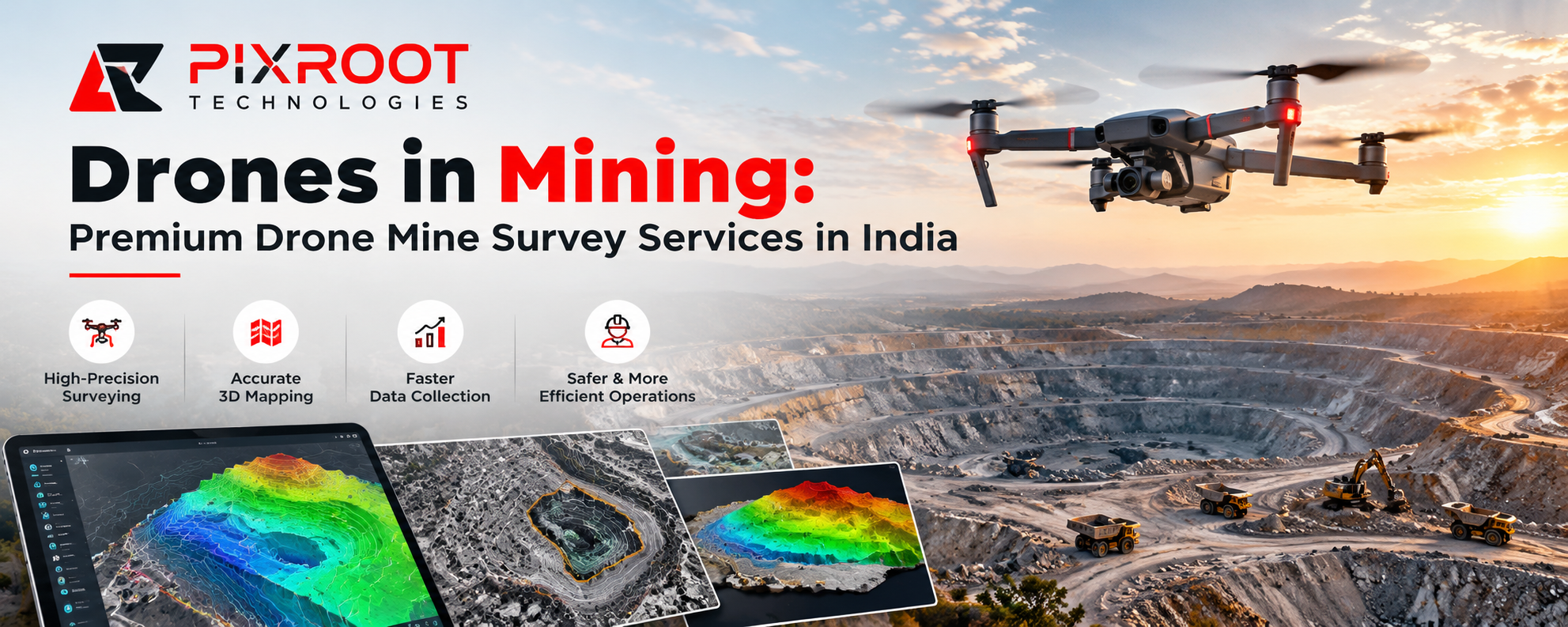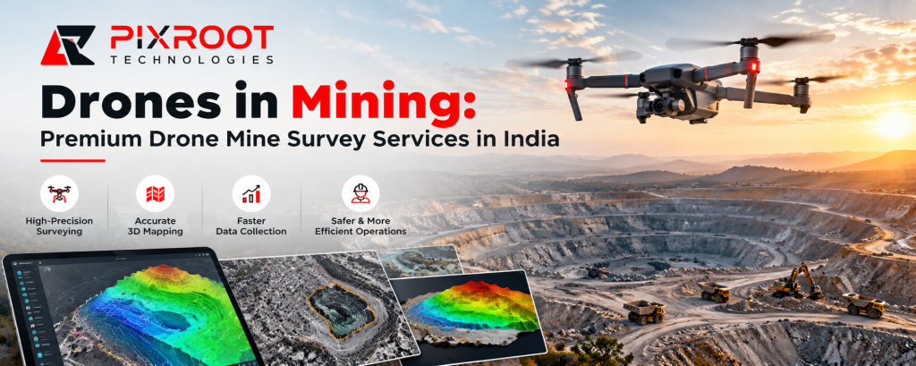
In the mining industry, drones are revolutionizing land surveys, excavation monitoring, stockpile measurement and site operations management. Drone technology gives mining professionals access to high resolution aerial data that helps them better understand terrain conditions, monitor operational progress and make better choices. Pixroot Technologies is a provider of drone-based mine survey and mapping solution that enables modern mining operations across India.
Whether you are operating an open-cut mine, mineral extraction site or large mining lease, a professional drone mine survey can assist in improving data collection, operational visibility and site planning.
What are mining drones?
Drones in mining are remote-controlled aircraft equipped with cameras, positioning systems or specialised sensors used to collect geospatial data from mining sites. The information captured can be processed in orthomosaic maps, digital elevation models, 3D models of the terrain and volumetric reports.
These digital outputs allow mining operators to assess site conditions without relying solely on traditional ground-based survey methods.
Advantages of Drone Mine Survey Services
1. Quicker, more efficient mine mapping
Survey teams can use drone surveying to rapidly collect data on a site by capturing aerial images over large mining areas. The processed data are suitable for topographic mapping, terrain evaluation and mine planning.
2. Correctly Measuring Stockpile Volume
One key application of drone technology is stockpile measurement. The volume assessment of coal, sand, limestone, aggregates and other extracted materials can be done by producing 3D surface models using aerial imagery and appropriate photogrammetry workflows. Reliable results hinge on ground control, accuracy of positioning, visibility of surface and quality of processing.
3. Enhanced Mine Site Safety
Mining sites can have steep slopes, excavation zones, unstable ground and heavy machinery. With drone inspections, teams can assess specific locations remotely, eliminating the need for staff to enter some dangerous sites to collect data.
4. Improved Progress Tracking
Repeated drone surveys provide similar datasets that enable mining companies to observe excavation, terrain change, stockpile movement and site development over time. This information is used to support operational reviews and projects documentation.
5. 3D Mapping and Terrain Analysis in Detail
Drone photogrammetry can convert overlapping aerial images into detailed orthomosaic maps and 3D models. These outputs can be used to support contour generation, elevation analysis, slope assessment and engineering planning depending on the equipment and survey requirements.
Drones in the Mining Industry
Open Pit Mine Surveying
Drone surveys allow you to capture the layout of open-cast mines, the boundaries of excavations, benches, haul roads and the surrounding terrain. This data is used for mine planning and for periodic site assessments.
Survey and Volume Estimation of Mine Stockpiles
Drones used to conduct stockpile surveys yield digital surface data for material volume calculations. These measurements can be used by mining businesses to support inventory management, dispatch planning and material reconciliation.
Boundary Mapping & Mining Lease
Georeferenced drone images could be useful for documenting lease areas and features of the surrounding land. Boundary verification and legal survey requirements should be dealt with by qualified surveying professionals and appropriate control data.
Environmental and Site Monitoring
Visual monitoring of disturbed land, drainage patterns, exposed surfaces and rehabilitation activities can be supported by drone mapping. For some environmental assessment projects multispectral sensors may provide additional information.
Why Pick Pixroot Technologies For Drone Mine Survey?
Pixroot Technologies delivers drone surveying, mapping and geospatial solutions for industrial applications. Our solution is focused on collecting useful aerial information and turning it into actionable mapping products to support site evaluation and decision making.
Mining projects may involve various combinations of aerial imagery, ground control, photogrammetry, 3D modelling and volumetric analysis. The correct workflow will depend on the size of the mine, the terrain, the required accuracy and how the survey data is to be used.
Our team can help you identify a suitable survey approach for your project in India, from initial site assessment to digital mapping deliverables.
Get in touch with Pixroot Technologies to discuss your mining site, survey goals, required deliverables and project deadline.
Drone Mine Survey Frequently Asked Questions
What’s a drone mine survey?
A drone mine survey is a georeferenced capture of a mining area, in the form of images or sensor data, by an unmanned aerial vehicle. The information is processed into mine planning and monitoring outputs such as maps, elevation models and 3D surfaces.
How Do Drones Work in the Mining Industry?
Drones are used for topographical mapping, stockpile volume estimation, excavation monitoring, terrain modelling, site inspection and environmental assessment. The suitability of the sensor depends on the project requirements and the sensors available.
Are drone surveys effective for open cut mines?
Yes. Drone surveys are especially effective for documenting open-cut mine areas that are accessible, as well as progress on excavations, haul roads and stockpiles. The flight planning and data collection has to take into account site hazards, terrain, and applicable aviation requirements.
Can drones measure the volume of mining stockpiles?
Yes. Drone imagery can be processed to create 3D surface models to estimate stockpile volumes. Its accuracy depends on the image quality, the positioning methods, the ground control, the surface conditions and the processing workflow.
Can drone surveys of mines be done in India?
In India, drone operations are subject to applicable aviation regulations and airspace restrictions. Operators are responsible for checking the latest Digital Sky airspace map and obtaining any permissions required before flying. There may also be mining-specific reporting requirements in the relevant lease.
How to Hire Drone Mine Survey Services from Pixroot Technologies?
Discuss your mine location, site area, survey objectives, deliverables and preferred schedule with Pixroot Technologies on the website. These details help define an appropriate scope for the survey.
Drone Mine Survey Solutions India
Today’s mining companies need reliable site information to plan work, monitor changes and manage resources. Drones are an efficient way of collecting aerial data and producing useful mapping outputs for mining applications in the mining industry.
Let’s discuss about drone mine survey, stockpile measurement, topographic mapping and 3D terrain modelling for your mining project with Pixroot Technologies.