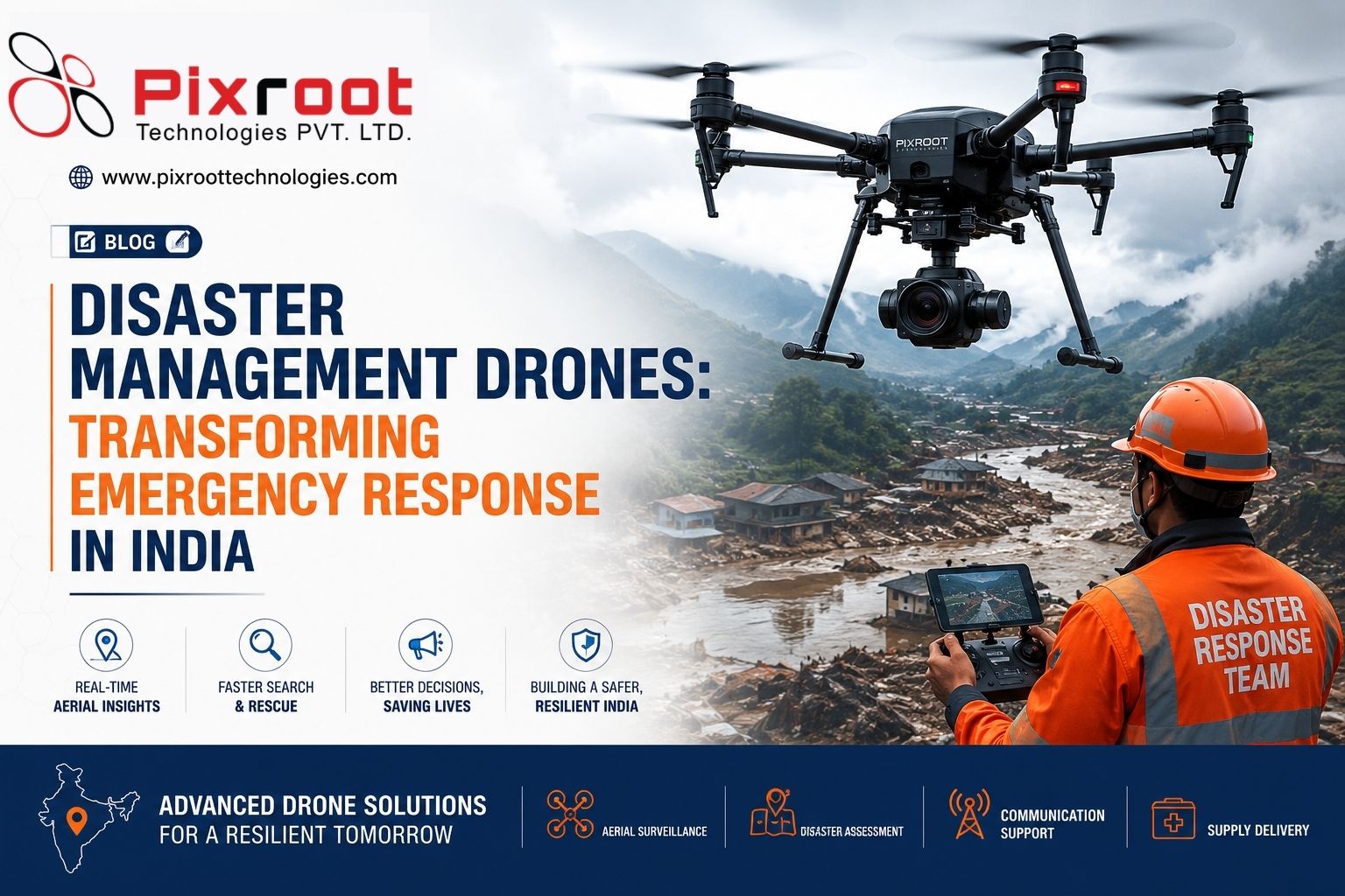
Time is of the essence when a disaster occurs as it may involve flooded roads, collapsed buildings, landslides, cyclones and various other emergencies that might affect the efforts of response teams in collecting relevant aerial information for making decisions. Disaster management drones offer fast and safe way to gather aerial information and help in effective decision-making.
Today’s advanced UAV technology is able to collect high-resolution imagery, video, and geospatial data from places that might be hard or even dangerous for the personnel to reach. In India, the disaster management framework involves preparedness, mitigation, response, and recovery, while UAV usage by government agencies has already been recognized as promising option to improve disaster management.
Drones disaster management solutions can assist organizations, government agencies and emergency response teams to convert raw aerial data into meaningful information.
Why Are Drones Used in Disaster Management?
Traditionally, teams involved in disaster management may have to travel on foot to conduct assessment of damage in case if it affects areas that are hard to reach for people.
Using drone for assessment of the affected area can help in getting an overall view of the area from the air. According to UAV requirements, the payload can support:
• Aerial reconnaissance
• High-resolution disaster mapping
• Damage assessment
• Observation of search area
• Infrastructure inspection
• Conducting thermal imaging operations
• Floods and landslides monitoring
• Assessment of relief routes
• Post-disaster documentation
High resolution data collected by UAVs can be used for creation of hazard maps.
The Role of Disaster Management Drones in the Disaster Cycle
Preparedness and Risk Assessments
The process of disaster management starts before an emergency strikes. Drones may be used to perform pre-disaster surveys, including mapping of flood prone areas, vulnerable infrastructure, unstable slopes and other risky places.
Aerial survey data might be helpful in understanding the situation and identifying possible vulnerabilities. Such data could prove useful in disaster response plans preparation and resource allocation.
The disaster management process in India includes risk reduction and planning at different levels – national, state and district.
Immediate Response During Disasters
At the stage of emergency, disaster management drones may give rapid aerial view of the stricken area.
After a flood strikes, a UAV will enable to find submerged roads, isolated communities and possible ways of access. After a landslide disaster, UAV imagery may help to obtain a picture of terrain conditions prior to entering a dangerous area.
Such aerial view might increase situational awareness and make it easier to plan rescue operations.
Support for Search Operations
Drones may also support search operations, especially in the case of a need to perform fast survey of large areas.
High-resolution cameras and appropriate sensors may help responders to inspect hard-to-reach areas, structures damaged by a disaster and inaccessible locations. Thermal payload may also help depending on the situation.
But drones have to be considered as an assistance means rather than substitute of emergency responders. For successful operations, it is necessary to coordinate efforts, plan missions and follow necessary safety regulations.
Damage Assessment and Recovery
Information regarding the level of destruction after any disaster becomes necessary for the authorities and organizations.
Drone surveys can be used for documentation of damage to buildings, roads, bridges, utilities and the landscape. Further surveys can help analyze the situation over time and prepare for recovery work.
The National Disaster Management Authority has prepared guidelines for multiple disasters and various aspects of disaster preparedness and response, showing the significance of planned and coordinated work.
Common Applications of Drones in Disaster Management
Flood Monitoring
Flood waters can cover a vast area and hinder access by traditional means. UAV surveys can help to obtain aerial images of flooded zones and infrastructure.
Landslide Assessment
Landslides usually happen in hazardous conditions. UAV surveys will help teams to assess the affected slope from a safe distance and collect aerial data for analysis.
Cyclone/Storm Damage Surveys
In the aftermath of the cyclones/storms, drones will help to survey the damaged infrastructure such as roofs, roads, power lines etc.
Earthquake Damage Mapping
Aerial imagery will help to have an overall view of the affected areas and identify places which require further investigation/emergency assistance.
Critical Infrastructure Inspection
Drones can help to conduct visual inspection of bridges, towers, roads and other infrastructure which was affected during the disaster.
Choosing the Appropriate Drone Solution for Disaster Response
Not all drones are fit for use in emergencies. A particular drone technology depends on such things as operating area, terrain, weather, data required, etc.
Professional disaster management drone solution may include:
• high-resolution RGB cameras;
• thermal cameras;
• RTK/high-precision positioning;
• long-endurance UAV platforms;
• real-time video streaming;
• GIS & mapping workflows;
• 3D reconstruction & orthomosaic generation.
When using Pixroot Technologies for any disaster management purposes, the main goal is to choose the proper aerial-data workflow instead of the drone itself. Reliable data collection, experienced pilots, quality control and reporting are vital elements here.
Disaster Management Drones and Responsible Operations in India
Drone operations in emergency situations need responsible planning. Disaster sites might feature restricted areas, emergency flights, damaged infrastructures, and variable environment conditions.
The mission planning has to take into account aviation needs, relevant permissions if any, site safety, weather condition, communication and coordination with authorised parties.
The institutional disaster management setup of India is guided by national policies, plans, guidelines, whereas the National Institute of Disaster Management is the agency supporting capacity development and disaster-risk management knowledge.
Key Points
• Disaster management drones deliver fast situational awareness from the air.
• Drones can help in preparedness, response, assessment and recovery.
• The use of UAV mapping is especially important in floods, landslides, cyclones, and infrastructural damage.
• Presence of professionals and accuracy of data workflow are crucial.
• The drone operations have to be coordinated with the authorised agencies and aviation requirements.
• The biggest added value will be gained by transforming the aerial data into actionable information.
Why Choose Pixroot Technologies for Drone-Based Disaster Management?
Effective disaster management requires not just aerial imagery but also responsible data collection, relevant UAV technology, and geospatial information awareness.
Pixroot Technologies can assist organisations seeking professional aerial surveying, mapping, and inspection services in India. Planning the UAV workflow effectively will assist in collecting information faster and minimising exposure to difficult or hazardous surroundings.
FAQS Regarding Disaster Management Drones
What are disaster management drones?
Disaster management drones are unmanned aerial vehicles that are employed for disaster preparedness, response, searches, mapping, damage assessment and recovery operations.
How can drones be employed in the event of floods?
Aerial drones can take photographs of flooded places that help identify which infrastructures have been damaged and which routes and locations are not easily accessible from the ground.
Can drones be used for disaster mapping?
Yes, as drones can survey large spaces to obtain aerial imagery that can be further turned into maps, orthomosaics, 3D models, and other geospatial products.
Are drones helpful in search and rescue operations?
Yes, drones can be employed to observe the area quickly in such operations that require looking for a person or persons who have got stuck in dangerous locations.
Where can disaster management drones be used in India?
Drones can be helpful in any location in India where disaster operations are required such as flood-prone locations, mountainous locations, locations that have been hit by cyclones and industrial locations.
Conclusion
Disaster management drones are proving to be increasingly important technology for faster, better and safer emergency operation processes. From pre-disaster risk mapping to post-disaster damage assessment, the use of drones can bring the advantage of aerial intelligence in case of inaccessible land-based access to disaster-stricken sites.
For organisations looking for professional drones disaster management services in India, proper aerial workflow can be designed for turning aerial data into valuable insight.