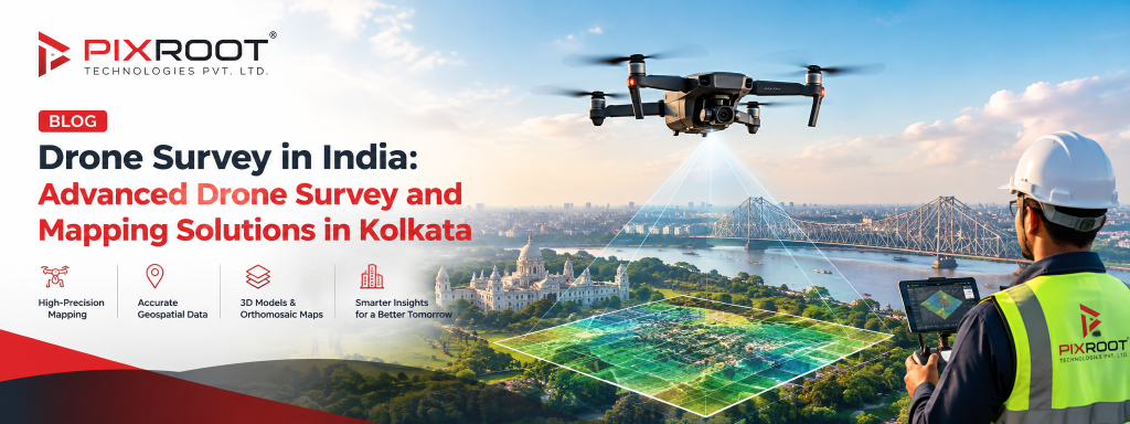
The application of drones in the survey of land, infrastructures, construction sites, mining areas, and massive projects is growing at an amazing rate in India. While compared to traditional survey methods, drone data acquisition can cover extensive areas with high efficiency while delivering detailed aerial imaging, orthomosaic maps, 3D model, and many more geospatial deliverables.
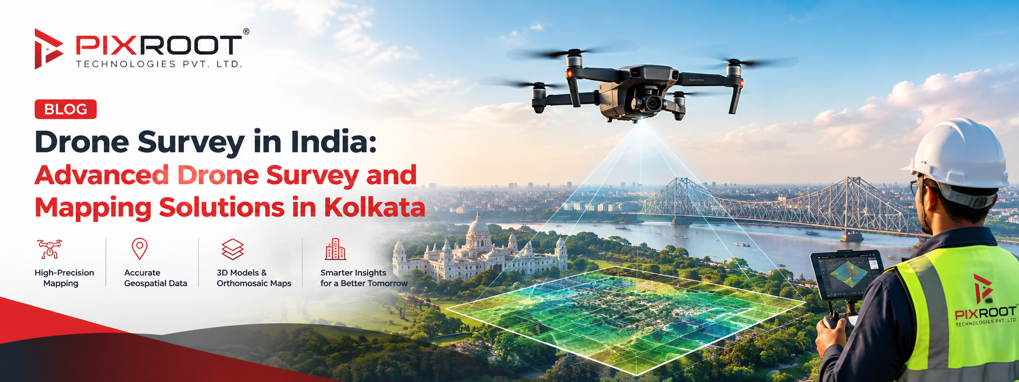
For companies that seek drone surveys in India, drone survey is the modern method of gathering spatial and visual data of an area. In the region of Kolkata, drone survey and mapping in Kolkata will be useful in construction planning, land evaluation, infrastructure development, agriculture, industry, and environmental monitoring.
What is a Drone Survey in India?
The process of drone survey involves gathering aerial data using an unmanned aerial vehicle equipped with specialized cameras or sensors of a specific location. The images captured are processed through photogrammetry and geospatial technologies to create measurable maps, models, and surveys.
Drone survey in India:
Drone survey is an aerial surveying process that involves use of drones and imaging equipment for capturing highly detailed geographical data for mapping, measurements, inspection, planning, and monitoring.
Based on the requirement of the projects, a drone survey may be used to produce:
• High-resolution aerial images
• Orthomosaic maps
• Digital Surface Model (DSM)
• Digital Elevation Models (DEM)
• 3D Terrain Model
• Contour maps
• Volumetric measurements
• Progress reports of construction
• Site inspection data
Why is Drone Surveying Important in India?
India has fast-growing demands for infrastructural development, urban planning, construction, mining, agriculture, renewable energy production, and land management. Such projects usually have a need for regular information about some large or hard-to-reach areas.
Drone surveying can be helpful for project managers in gathering aerial data independent from any traditional land-based measurements. Also, such surveys allow for the comparison of information about site conditions at various stages of a project.
For instance, construction companies can use aerial pictures for monitoring progress, and infrastructure project managers can use aerial information to analyze their project corridors and terrain.
Drone operations in India are subject to applicable aviation and unmanned-aircraft regulations. The Directorate General of Civil Aviation (DGCA) provides the regulatory framework and Digital Sky platform for drone-related activities.
Drone Survey and Mapping Services in Kolkata
The Kolkata region requires various services for land surveying, construction, development of infrastructure, industry and city planning, which makes drone survey and mapping in Kolkata useful to the entities requiring up-to-date aerial data on their project site.
Professional drone survey can help in transformation of aerial data into practical geospatial information.
The examples of using drones for survey and mapping include:
Construction Site Surveying
Construction companies will be able to capture aerial images and use them to track construction progress, compare against plans and document construction phases.
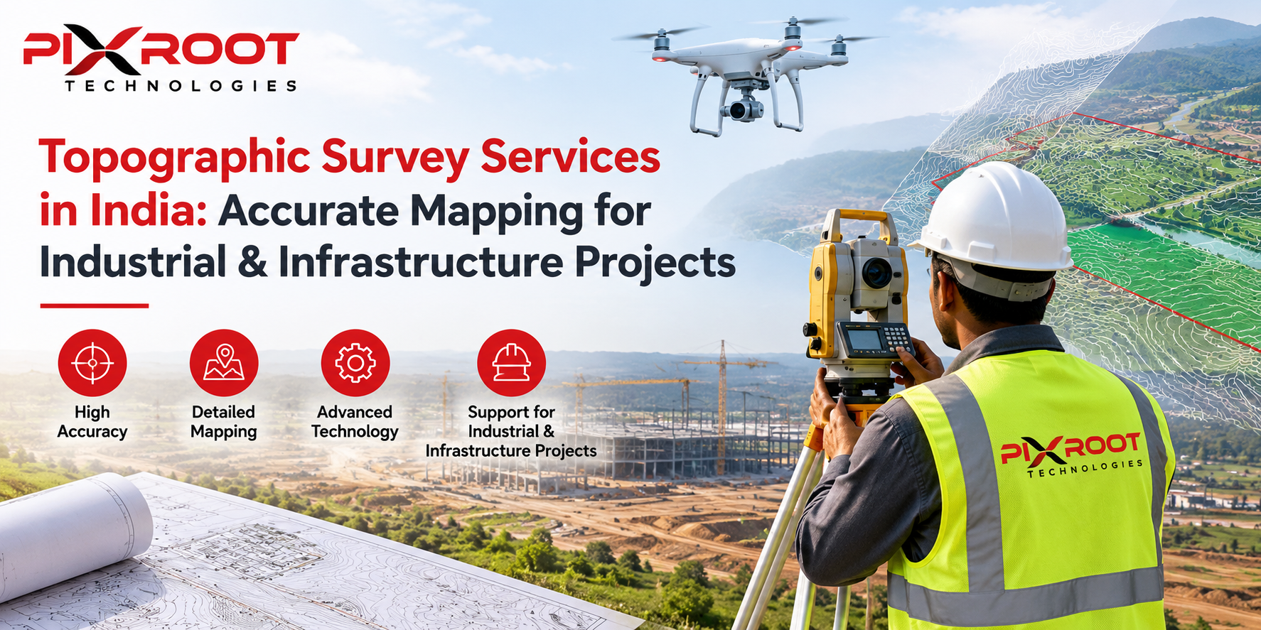
Land and Topographical Mapping
Mapping with drones will give visual data regarding terrain, land boundaries, condition of site and its elevation characteristics in case appropriate survey processes will be followed.
Infrastructure Projects
Various infrastructure projects such as road building, bridges, railway corridor and utility projects can be served by data captured with drones on their long or inaccessible sites.
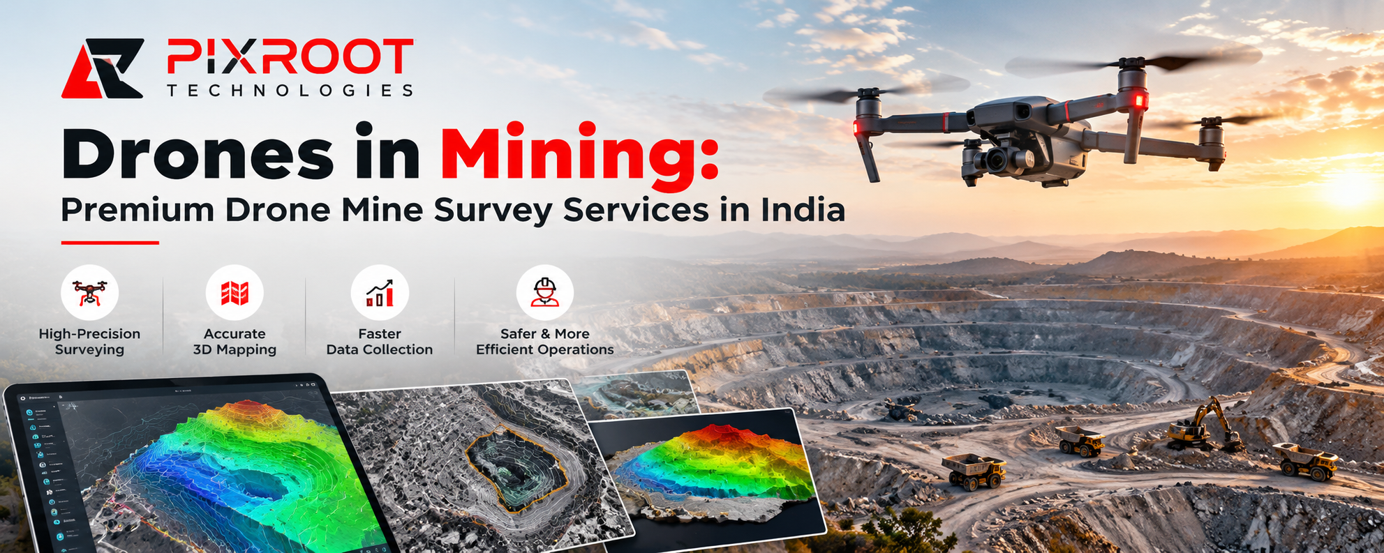
Mineral Operations and Stockpiles Measurement
Stockpile volumes can be calculated on the basis of drone imagery and used in project monitoring to understand stockpiles volume and dynamics of change.
Agricultural and Environmental Monitoring
Aerial imagery can assist with monitoring large agricultural or environmental areas and identifying visible changes that may require further investigation.
How does a professional drone survey work?
A professional drone survey consists of certain steps, which ensure the proper collection of data appropriate for the project.
1. Project planning: The area for survey, outputs to be produced, flight parameters and security issues are defined.
2. Flight planning: The drone flight route and image acquisition requirements are defined according to the site and project needs.
3. Aerial data acquisition: The drone collects overlapping images or any other needed sensors data over the survey area.
4. Data processing: Specialized software processes the collected data by means of photogrammetry and geospatial workflows.
5. Quality assurance: The generated datasets are evaluated regarding their completeness and usability.
6. Final deliverables: According to the project outputs may include orthomosaics, 3D models, elevations, measurements, maps, and reports.
Benefits of Drone Surveying
Main advantages of professional drone surveying are:
• Speedy aerial data collection
• Effective surveying of extensive territories
• Visual documentation in detail
• Repeatable monitoring of sites
• Useful data for construction planning
• Support of 2D and 3D mapping
• Better project visualization
• Less need to use personnel in hard-to-reach areas
But the accuracy and utility of the drone survey may depend on various factors like drone/sensor selection, flight planning, imagery quality, ground control, processing technique, environmental condition, and survey standard required.
Why Select a Professional Drone Survey Company?
It is important to select a professional drone surveying company as sometimes, just aerial imagery might not be enough for any engineering or surveying decision making. The workflow of a professional company needs to include some essential elements like project goals, equipment used, data processing and quality control.
PIXROOT TECHNOLOGIES PVT. LTD. is located in Newtown, Kolkata, and works in the aerospace industry. Any business that needs drone surveys or other aerial-data solution should take into consideration the deliverable required, the accuracy required, project location and other issues before undertaking any survey.
Drone Survey In India: Frequently Asked Questions
What is the cost of drone survey in India?
There is no single cost for drone survey in India as it varies by location, size, topography of the area to be surveyed, level of accuracy needed, technology to be used, and more. It is advised that you get a quotation for your specific project rather than rely on a standard per acre cost.
How accurate is a drone survey?
The accuracy of a drone survey depends on factors like technology used, flight plan, image quality, control points, methodology used in processing images and others. High-accuracy surveys will need some form of ground control and survey process.
Where can drone surveys be used?
Drone surveys are useful in construction, infrastructure, land surveying, mining, agriculture, industry, environmental surveys, stockpile volumes and other applications where aerial surveying is required.
Is drone surveying legal in India?
Drone operations in India need to comply with all relevant regulations set out by the DGCA.
Why do a drone survey and mapping in Kolkata?
If your project happens to be in Kolkata, you will have an advantage due to surveying experience and convenience of communication.
Takeaway Points
An aerial survey using drones in India is a modern approach to obtaining geospatial and aerial data that can be useful in construction, infrastructure, land, mining, agriculture, and industrial applications. If done correctly, drone surveying is capable of creating useful datasets that are 2D and 3D.
Drone survey and mapping in Kolkata is a solution that organizations looking for drone-based mapping can get.