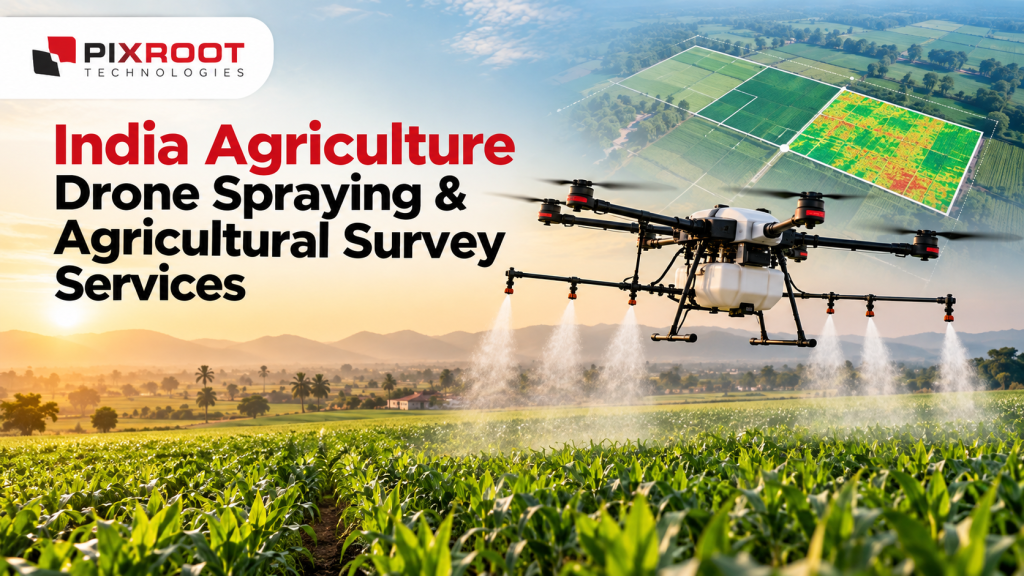
Accurate information, timely care for crops and efficient use of agricultural resources are needed in modern farming. Agriculture drone spraying is making it faster, more precise and easier to plan the application of approved agricultural inputs, helping farmers adopt smarter crop management practices. Agriculture drones, in contrast, provide valuable aerial data for field mapping, crop monitoring and agricultural surveys.
Pixroot Technologies is focused on data-driven agricultural surveying and precision farming applications to support the growing role of drone technology in agriculture. No matter whether you are a farmer, agribusiness, plantation owner or agricultural project manager, drone-based solutions can help you understand field conditions and make better choices.
What Is Agricultural Drone Spraying?
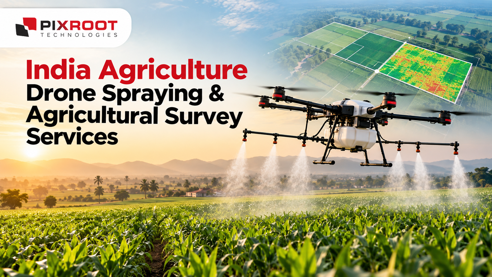
Agricultural drone spraying involves the application of approved crop protection products or agricultural nutrients using specialised unmanned aerial vehicles (UAVs). Agricultural drones are equipped with spray tanks, nozzles, GPS navigation and flight-control systems that enable them to fly programd routes and cover designated field areas.
Drone spraying means fewer workers have to walk through standing crops applying products compared to conventional hand spray. It can also help operators to access some difficult areas and do spray within suitable weather windows.
In India, agricultural drone operations have to comply with the applicable requirements of Directorate General of Civil Aviation (DGCA), agricultural spraying procedures and product-label instructions. Proper planning, trained operators and suitable weather conditions are required for safe and effective application.
Advantages of Drones in Agriculture
Farmers are using drones to collect information about their fields and manage their crop operations. The benefits they bring depend on the equipment, the type of crop, the field conditions and the quality of the data they collect.
1. Speedier and More Efficient Field Operations
Agricultural spraying drones can efficiently cover the planned areas of the field, which helps the farmer to manage the time sensitive crop protection activities. Their performance is a function of battery capacity, payload, refilling requirements and field accessibility.
2. Crop Spraying Precision
GPS-guided flight planning and controlled spray systems can help to achieve more uniform application across a field. Calibration must be correct and operating conditions suitable to reduce drift and to avoid unnecessary application.
3. Field Surveying and Mapping of Agriculture
Aerial surveys can provide you with high resolution imagery of the field, boundaries and mapping data. These outputs can assist in land assessment, farm planning, and identifying areas for further inspection.
4. Monitoring of Crop Health
Differences in vegetation and crop growth can be identified with the help of suitable drone cameras and multispectral sensors. Such observations can help inform ground inspections and inform decisions on irrigation or nutrients or crop protection.
5. Better farm planning
By combining drone imagery with field observations and agronomic advice, farmers can better understand the condition of their crops and prioritise their attention.
Agricultural Survey Services using Drones – Pixroot Technologies
Aerial data used for agricultural surveys give farmers and agricultural businesses a better view of their land. Pixroot Technologies’ agricultural survey page is a first point of contact for enquiries about surveying by drone and allied applications.
Agricultural drone survey solutions can support:
Depending on project requirements and available equipment
- Airborne field mapping: Capture images for field assessment and farm planning.
- Crop monitoring: Monitor crop growth patterns and identify areas needing closer inspection.
- Vegetation analysis: Use appropriate sensors and processing techniques to analyse variability within crops.
- Land assessment: Assist agricultural land documentation and planning with aerial survey data.
- Precision agriculture: Merge mapped observations with ground information to make better farming decisions.
Pixroot Technologies . Confirm exact deliverables, sensor capabilities, survey accuracy and coverage before booking a project.
Drone Spraying Applications for Indian Agriculture
India’s diverse agricultural landscape creates opportunities for drone technology across various farming systems. Depending upon the crop, equipment and approved mode of application, agricultural drones can be considered for paddy, wheat, maize, cotton, sugarcane, pulses, vegetables and plantation crops.
Farmers and agricultural organisations can assess the use of drone spraying for appropriate crop protection and nutrient application tasks. Drones can also be used to survey larger agricultural properties, comparing field conditions and helping with seasonal monitoring of crops.
Prior to spraying, operators must check the suitability of the product for drone application, use the recommended dose and adhere to required buffer zones, weather restrictions and other safety procedures.
Why Choose Pixroot Technologies for Agricultural Survey Questions?
The first step in choosing a suitable drone technology partner is to understand your project objectives. Pixroot Technologies lets you enquire about agricultural survey needs and how aerial data can support your farming or land assessment needs.
When evaluating an agricultural drone project, think about:
- The size and type of the agricultural area.
- Whether you need field mapping, crop monitoring or spraying
- Imagery, maps or processed data required.
- Drone and sensor capabilities required for your project.
- Operator qualifications, regulatory compliance and safety practices.
- Project timelines, deliverables and costs.
Get in touch with Pixroot Technologies to discuss your agricultural survey requirements and confirm the services available for your location in India.
Common Questions Regarding Agriculture Drone Spraying
What is drone spraying agriculture?
Agriculture drone spraying is the use of specialised unmanned aerial vehicles to apply approved agricultural products to crops. It can improve the efficiency of operations and reduce the need for workers to enter standing crops at the time of application.
How are drones applied in agriculture?
Aerial surveys, field mapping, crop monitoring, vegetation analysis and suitable spraying applications are carried out using drones. The capabilities depend on the drone, sensors, software, and the intended agricultural task.
Is drone spraying good for Indian farm?
Subject to field conditions, equipment capability, economics and applicable regulations, drone spraying can be suitable for a range of Indian crops and farm sizes. A project assessment is useful to determine suitability.
Are agricultural drones able to monitor crop health?
Yes. Differences in vegetation that could indicate stress in crops can be revealed by drone imagery and suitable multispectral sensors. These observations must be checked in the field before any corrective action is taken.
How to enquire about agricultural drone surveying services?
Go to the Pixroot Technologies agricultural survey page and contact the team to talk about your location, land area, crop type and survey outputs you need. Check service availability, deliverables & pricing before proceeding.
Explore Agricultural Drone Technology with Pixroot Technologies
Agriculture drone spraying and aerial surveying are creating new opportunities for more informed and efficient farm management. From crop monitoring to field mapping, drones in agriculture can help turn aerial observations into practical information for agricultural planning.
Contact Pixroot Technologies to discuss your agricultural survey requirements and explore suitable drone-based solutions for your project in India.