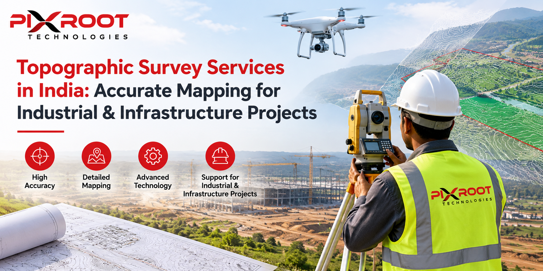
Industrial Topography Survey Company provides services such as topographic surveys, land mapping, elevation data, terrain analysis, and measurements for industrial developments. The advantage of using “Drone Survey for Industrial Development” is that the data provided by this service is very accurate and fast, and hence cost effective.
Introduction
Accurate land data is required for any industrial development before the actual construction starts. All the factories, warehouses, manufacturing plants, logistics parks, industrial corridors, renewable energy projects, and infrastructure development depend on accurate topographic data.
Traditionally, the process of surveying could take many weeks and involves many people. Now, drones have revolutionized industrial surveying by offering high-quality aerial data within a short time.
As an experienced Industrial Topographic Survey Company in India, Pixroot Technologies offers you the combination of latest drone technology, GIS services, and surveying services to support your industries in making better decisions.
Why Industrial Topographic Surveys Are Important
The nature of industrial projects requires huge investments. Any mistakes made during the process of surveying might cause design changes, delays in construction, and extra costs.
An industrial topographic survey is aimed at:
• Topography mapping
• Elevation of existing grounds
• Drainage
• Detected utilities
• Boundaries detection
• Contour mapping
• Infrastructure planning
• Soil work measurements
This information will be very useful for engineers, architects, and project managers to create a precise project.
What Is the Drone Survey for Industrial Development?
The Drone Survey for Industrial Development utilizes UAV (Unmanned Aerial Vehicle) fitted with highly sophisticated equipment such as GPS and RTK, and high-definition cameras.
Data collected is analyzed and converted into:
Digital Elevation Models (DEM)
Supplies information on ground elevations for planning.
Orthomosaic Maps
High-resolution maps formed by stitching together aerial images.
Contour Maps
Helpful in grading, excavation, and construction planning.
3D Terrain Models
Allows visualization of industrial complexes prior to construction.
Volume Calculations
Enables the precise measurement of stockpiles, excavations, and earthworks.
Advantages of Using Drone Survey for Industrial Development
Project Completion Speed
Drone surveys are capable of covering hundreds of acres in one day, saving much time compared to traditional surveying methods.
High Precision
Modern RTK and PPK drone survey systems provide centimeter level accuracy suitable for engineering purposes.
Increased Safety
It makes surveying of dangerous or hard-to-reach industrial facilities much safer as drones make unnecessary entering hazardous territory for survey crews.
Saving on Costs
Reduces labor costs, less number of visits, and faster collection of data make projects more cost-effective.
More Efficient Decision Making
Provision of accurate aerial data helps engineers and project managers discover problems before construction.
Sectors that Are Benefited by Industrial Drone Survey
“An experienced Industrial Topographic Survey Company caters to a variety of industries throughout India.”
“Manufacturing Plants”
Planning of sites and development of infrastructure.
“Industrial Parks”
Planning of land and utilities.
“Renewable Energy Projects”
Development of solar plants, wind farms, and transmission.
“Mining Industry”
Volume survey and terrain survey.
“Oil & Gas Industries”
Pipeline routing and inspection of assets.
“Projects related to Warehouses”
Planning of layout and expansion of projects.
“Smart Cities”
Urban infrastructure surveying.
“Logistics Parks”
Road planning and land optimization.
Why Choose Pixroot Technologies?
“Pixroot Technologies brings together industrial experience with latest technology of drones and provides you reliable industrial survey solutions in India.”
“Features of our company include:”
• Expert drone survey technicians
• Certified DGCA drone surveys
• RTK drone surveys
• GIS and CAD deliverables
• High resolution aerial survey
• Quick delivery
• Custom industrial survey solution
• Achieving accurate survey documentation
All our surveys are done in standardized workflow to provide you dependable surveying solutions for engineering projects.
Applications of Industrial Topographic Surveys
Industrial topographic surveys have applications in every stage of project development.
Land Selection
Select the best lands available on the basis of terrain and accessibility.
Planning
Develop base plans that are highly accurate in engineering terms.
Construction
Monitor the project development process from start to finish.
Earthworks
Determine the volumes of earth works to be carried out.
Designing Infrastructure
Provide support to roads, drainage and utility design.
Asset Management
Keep track of industrial facilities in a highly accurate manner.
Why Drone Surveys are Taking Over Land Surveys
Land surveys take more field workers and longer periods of time than drone surveys.
Drone surveys offer:
• Faster data acquisition
• More site coverage
• Better image quality
• Better terrain modeling
• Safer operation
• Accurate reporting
The growing size and complexity of industrial projects make drones extremely useful for developers in India.
Selection of the Right Industrial Topographic Survey Company
Before you decide on your partner, make sure that:
Experience
The selected company must have extensive experience in industrial surveys.
Technology
They must be using RTK capable drones with advanced software.
Compliance
Make sure that they comply with DGCA guidelines.
Deliverables
They should provide contour maps, CAD files, DEM, orthomosaic, and GIS products.
Support
Select a company providing consultations in the course of the survey.
Pixroot Technologies provides industrial development survey services across India.
Conclusion
For industrial projects, precise measurement is required from the very beginning of the work. Partnering with the right Industrial Topographic Survey Company will help you to receive accurate data about the land, minimize your project risks, and make efficient decisions.
Using our Drone Survey for Industrial Development service, we will help you complete your projects in less time and with higher efficiency without sacrificing engineering accuracy and compliance.
Drone surveys will provide you with reliable information required for the successful completion of the project.
FAQs
What is an Industrial Topographic Survey?
An industrial topographic survey includes the measurement of elevation, contour lines, terrain features, and the existing site conditions.
Why should drones be used for industrial surveys?
Drone surveys can help collect accurate aerial data faster, improve safety, decrease costs, and create a map for further planning of the project.
How accurate are drone surveys?
RTK drones can provide centimeter-level accuracy, enough for any engineering and industrial development.
In which industries are industrial topographic surveys required?
Industries such as manufacturing, renewable energy, mining, logistics, oil and gas, infrastructure, industrial parks, and smart cities require industrial surveys using drones.
Why should you choose Pixroot Technologies?
The combination of professionals, cutting-edge drone technology, GIS expertise, and quick project delivery makes Pixroot Technologies a reliable partner in industrial surveying in India.