As India takes huge leaps in transforming its cities digitally, there is an increasing need for smart city drones. Drones are being deployed by city administrators in several areas, such as monitoring infrastructure and urban planning to collect data and make sound decisions for the creation of urban cities.
Now, smart cities require real-time data to manage their roads, utilities, public infrastructures, environmental monitoring, and constructions. Drones provide a better way than any other method of surveying.
Smart city drone services have become essential elements of city management in India.
What Are Smart City Drones?
Smart city drones are UAVs which have advanced technologies like sensors, cameras, GPS, LiDAR technology, and AI to capture aerial data for the management of urban areas.
These drones help government authorities and private companies:
• Track infrastructure projects
• Map city accurately
• Inspect roads and bridges
• Analyze patterns of land use
• Improve disaster management
• Track environmental conditions
By supplying real-time information, drones enable the city managers to make well-informed decisions faster and more effectively.
Why Do Smart Cities Need Drone Technology
Modern cities produce enormous volumes of information every day. Surveying usually takes considerable effort, time, and other resources.
Benefits of Smart City Drones
Fast Data Gathering
Drone surveys allow covering the area of modern cities in considerably shorter periods of time compared to traditional land surveys.
High Precision Mapping
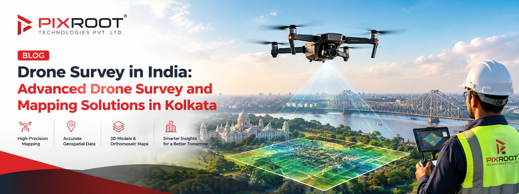
Thanks to advanced technologies used for drone surveys, the resulting images are highly precise and accurate ortho-mosaic maps and 3D models of the city.
Cost Effective
The use of drones allows significantly reducing labor costs, expenditures on equipment, and overall timeframe of the project.
Increased Safety
Drone surveys do not require people’s presence in the hazardous locations such as bridges, towers, rooftops, and constructions.
Real-Time Monitoring
It allows tracking infrastructure projects, traffic and urban activities in real time.
Major Uses of Drones in Cities
The deployment of drones in cities is increasing as the municipal authorities have realized the usefulness of drones in multiple sectors.
Urban Planning and Development
Drones survey the areas and provide accurate images, which assist in understanding the present land use practices and help plan future infrastructure projects.
Some applications are:
• Master planning
• Mapping of land parcels
• Smart zone planning projects
• Development monitoring
• Expansion plans of the city
Infrastructure Inspection
Smart city drones are used to check for:
• Roads
• Bridges
• Flyovers
• Rail corridors
• Water pipelines
• Power infrastructure
With high-resolution images, engineers can detect any structural defects early.
Smart Utility Management
Utility departments use drones to monitor:
• Water supply network
• Drainage system
• Sewage infrastructure
• Electrical power transmission lines
These activities help in cutting down on the maintenance cost.
Traffic and Transportation Management
With the help of drone technology, cities can manage:
• Traffic analysis
• Congestion management
• Road safety assessment
• Parking optimization
• Transport corridor planning
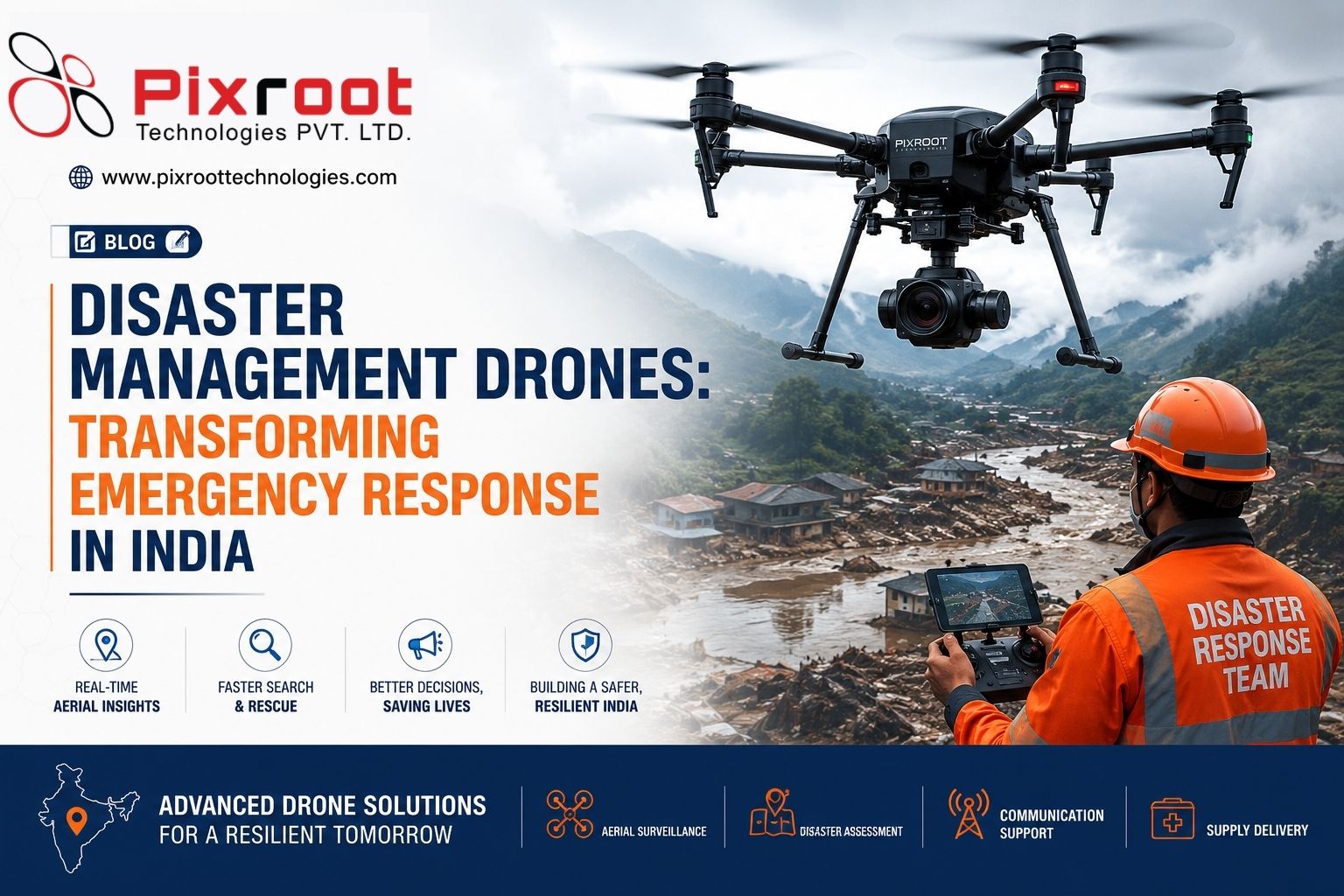
Disaster Management and Emergency Response
Smart city drones come handy during:
• Floods
• Earthquakes
• Fires
• Industrial accidents
• Urban emergencies
Quick aerial surveys enable more effective coordination of rescue and relief efforts.
Smart Drones of the Future: What to Expect
The notion of smart drones of the future is not limited to aerial surveys and mapping. Technological innovations make drones more autonomous, intelligent, and integrated into urban ecosystem.
AI-Powered Analytics
Drones of the future will be capable of identifying automatically:
• Issues with infrastructures
• Uncertified constructions
• Traffic jams
• Ecological threats
AI-based analysis will help make prompt actions.
Autonomous Flight Systems
Advanced drones will be able to conduct scheduled inspections and surveys independently.
Digital Twin Modeling
Data from drones will be used to build digital twins of the city for further simulation of urban planning and infrastructural projects.
Smart Environmental Monitoring
Drones of the future will conduct monitoring of:
• Air quality
• Water quality
• Heat islands
• Noise pollution
• Level of green cover
This data will be useful for the implementation of sustainable urban development programs.
How Drone Surveys Help in the Implementation of India’s Smart Cities Mission
India’s Smart Cities Mission is aimed at technology-based urban development and improved quality of life.
Drone surveys help in providing:
• Precision GIS Mapping
• Asset Inventories for Infrastructure
• Planning Urban Datasets
• Services of Real-Time Monitoring
• Quick Completion of Projects
Municipal Corporations, Development Authorities and Engineering Consultants now use the technology of drones to attain their goals of smart cities.
What makes you Choose Professional Smart City Drone Surveys?
Professional drone surveys help in providing:
• Compliance with DGCA norms
• Certified Drone Pilots
• Mapping Software
• GIS integration
• LIDAR services
• Survey Reports
Collaborating with experts of drone surveys assures precision, regulatory compliance and successful projects.
Featured Snippet: What is a Smart City Drone?
A smart city drone is a high-tech unmanned vehicle which is used in urban planning, infrastructural inspection, mapping, monitoring and information gathering. This drone helps the city authorities in gathering accurate real-time information.
Conclusion
• Drone technology in smart cities optimizes urban planning and infrastructure management.
• City drones offer quicker, safer, and more precise surveying services.
• New generation smart drones would employ AI, automation, and digital twin technologies.
• Drone surveys enable implementation of India’s Smart Cities Mission due to precision geospatial data.
• The municipalities may minimize expenses and optimize their performance with the help of drone monitoring systems.
FAQ
What is a smart city drone?
It is a UAV that is fitted with advanced sensors and mapping technologies for urban planning, infrastructure inspection, and city management purposes.
How do they use drones in cities?
The usage of drones in cities comprises mapping, infrastructure inspection, traffic monitoring, environmental assessment, construction monitoring, and emergency response operations.
What are the advantages of drone surveys in smart cities?
The advantages of drone surveys include the speed of data gathering, accurate mapping, cost-saving, better safety, and real-time monitoring capability.
Are drone surveys legal in India?
Yes, drone surveys are legal as long as they comply with DGCA rules and are carried out by approved operators.
What are the smart drones of the future?
Smart drones of the future will be characterized by AI analytics, autonomous operation, digital twins, and environmental monitoring capabilities.
Conclusion
The implementation of smart city drone technology is transforming the urban development process in India. In light of the cities being increasingly interconnected and data-driven, drones have become the most important source of intelligence necessary to optimize the urban planning, infrastructure, security, and sustainability.