What Are Aerial Mapping Drones?
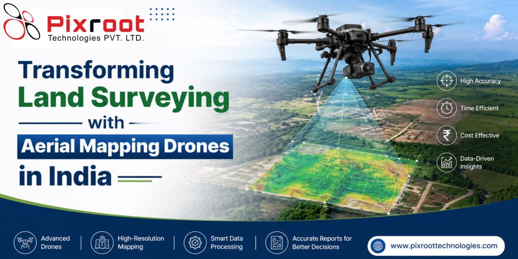
Aerial mapping drones are UAVs that are fitted with high-quality cameras, RTK/PPK GPS system and sensors for capturing high resolution aerial imagery for creating accurate maps, orthomosaics, 3D models, DEM, DSM etc. In India, the use of aerial mapping drones is widespread in sectors like construction, agriculture, mining, infrastructure, smart cities, utilities and environment for project planning while minimizing time and cost of surveying.
The need for geospatial intelligence in industries has made drone mapping the quickest and most accurate method of gathering actionable information.
Why Aerial Mapping Drones are Changing the Way Surveying Works in India
Traditionally, land surveys have always been manpower intensive with costly equipment and long project periods. The process has been simplified with the help of modern aerial mapping drones which gather aerial information quickly and with high accuracy.
Companies in India are switching to drone mapping because of its following features:
• High resolution aerial imagery
• Survey accuracy at centimeter level
• Quicker project completion
• Safer work for workers
• Low operational costs
• Better planning with GIS ready data
• Real time monitoring of large project areas
From highways to solar plants and industrial facilities, drone mapping is changing how projects are executed.
Operation of Aerial Surveying Drones
Drone surveying adheres to an organized process flow.
1. Mission Planning
The surveyor plans for the mission’s path, height, percentage of overlap, and Ground Control Points (GCPs) needed to achieve high accuracy.
2. Automated Drone Flights
The drone automatically takes hundreds to thousands of photos.
3. Processing of Data
Photogrammetry software takes the images captured by the drone and constructs:
• Orthomosaic maps
• DTM (Digital Terrain Model)
• Digital Elevation Model (DEM)
• Point clouds
• 3D-models
• Contour maps.
4. Integration with GIS
The datasets integrate seamlessly with GIS and engineering software.
Uses of Aerial Mapping Drones in India
Construction and Infrastructure
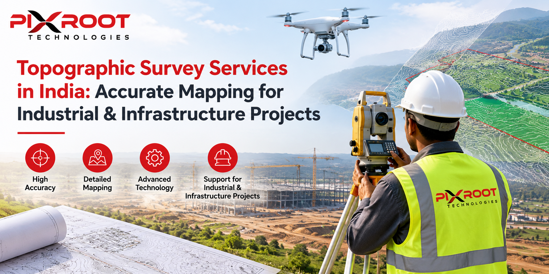
Drones mapping is used in construction for tracking projects, computing earthwork volumes, and site planning.
Agriculture
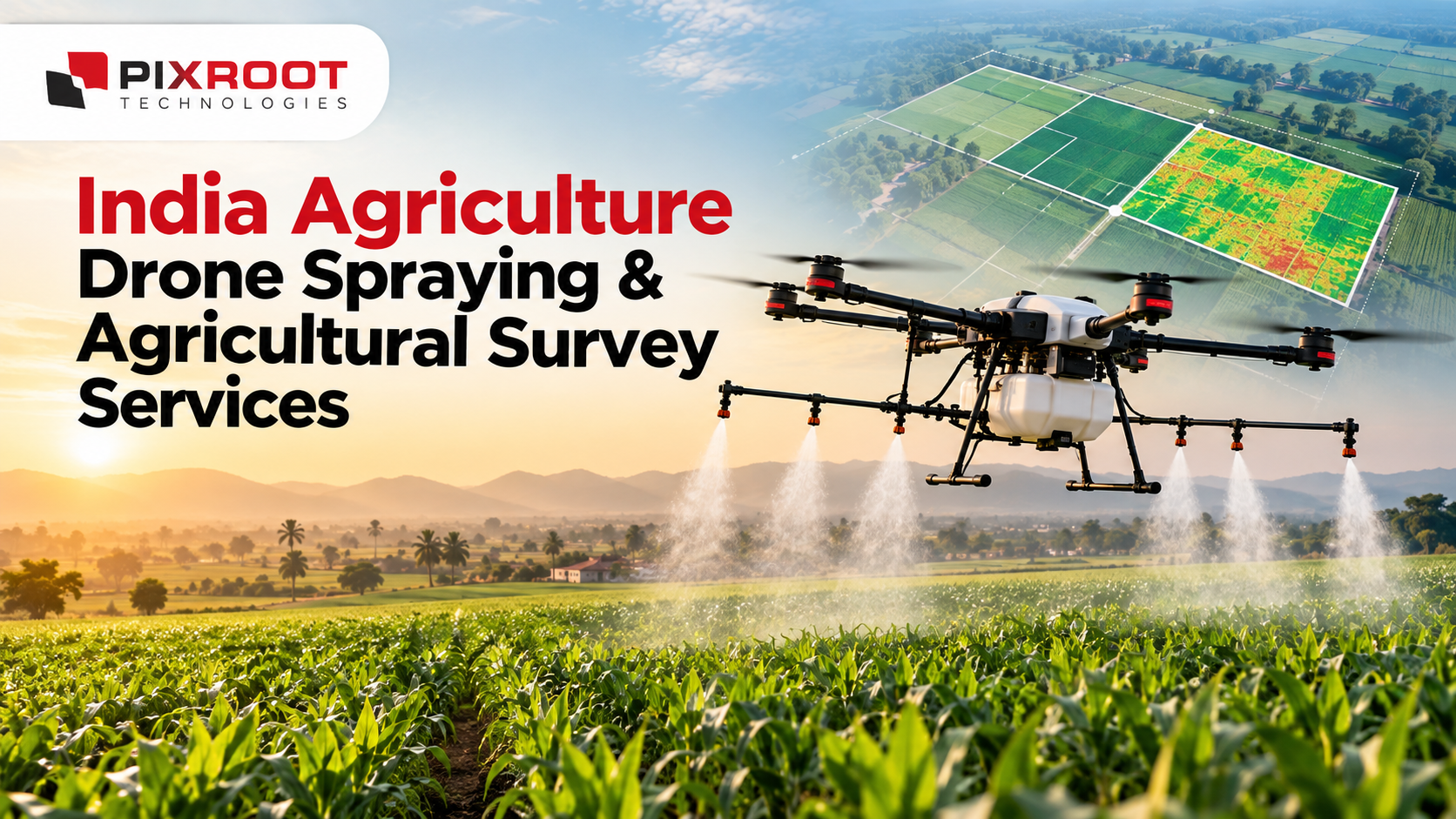
Aerial mapping by farmers is used for tracking the health of crops, their irrigation, drainage system, and field variation.
Mining
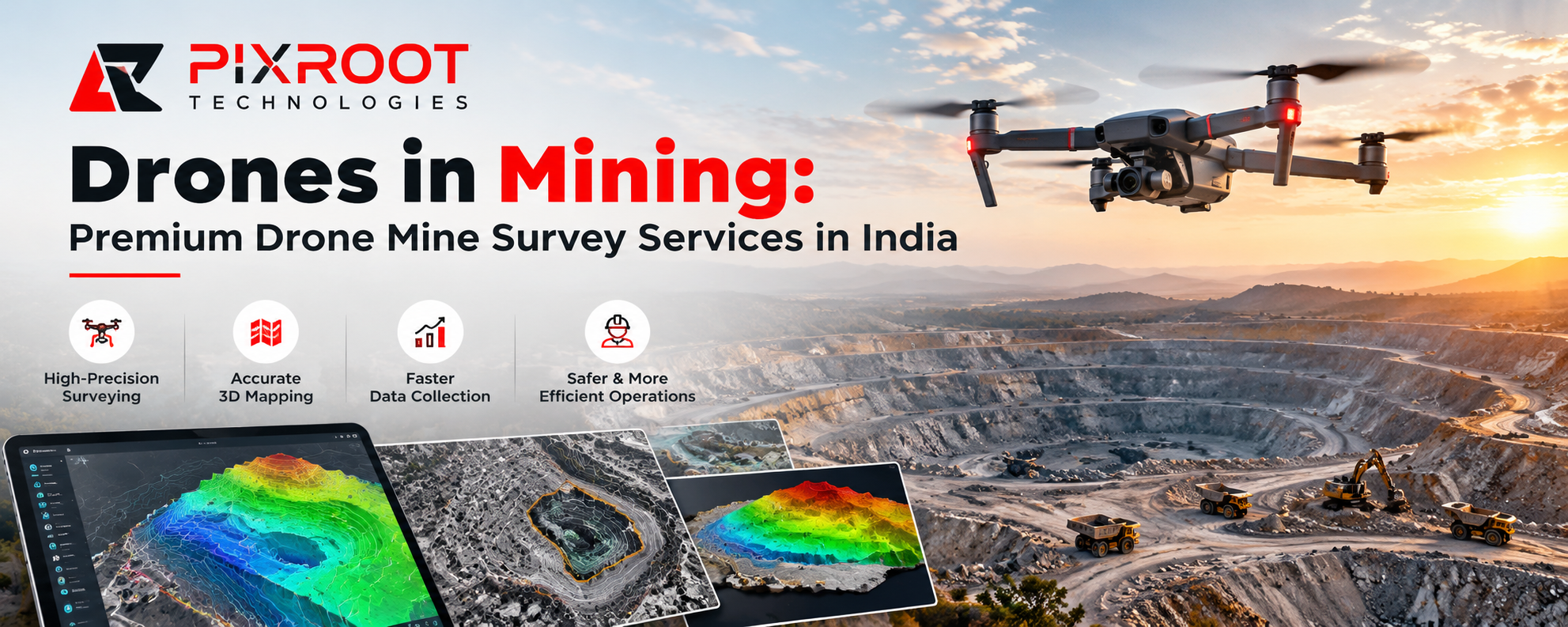
Topographic mapping done by mining firms through drones is used for estimating stock piles, volumes, and compliance with regulations.
Smart Cities
Government agencies use aerial mapping to plan cities, develop roads, drainages and create digital twins.
Utilities
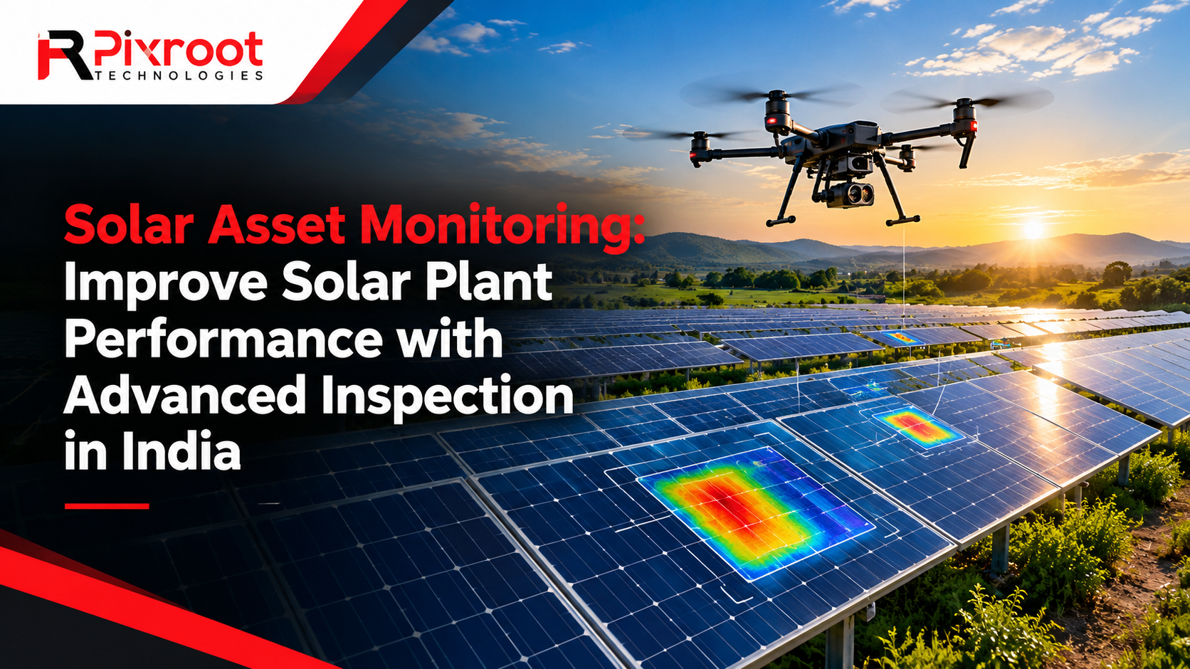
Drone surveys are used for inspection of power plants, transmission lines, substations, pipelines, and renewable energy projects.
Disaster Management
Emergency response teams use aerial mapping for flood assessment, landslide monitoring and damage estimation.
Bing Maps Aerial View for Visualization and Understanding Terrain
Various professionals kick-start their project by analyzing a Bing Maps aerial view to get an initial idea about the terrain, roads, and existing infrastructure in the region. Although Bing Maps offers valuable satellite imagery which may be used for visualization and preliminary planning purposes, it should not be used for accurate geospatial measurements and engineering calculations.
In order to receive exact measurements needed for the design and construction, in addition to Bing Maps aerial view for preliminary information, companies use aerial mapping drones which take high-resolution imagery of current condition in the specific location.
Benefits Of Using Experienced Drone Mapping Companies
There are several benefits of using professional drone mapping companies.
More Productive Project Completion
Areas which took days before can be mapped in hours using the drones.
Higher Accuracy
RTK and PPK equipped drones provide exact measurements that can be used for engineering and infrastructural projects.
Cost Savings
Mapping process using drones saves money on manpower, additional equipment and re-visits.
Improved Safety
Dangerous locations like mines, transmission lines, rooftops and industrial facilities can be mapped without risking the lives of employees.
Improved Decision-Making High resolution aerial images improve planning, reporting, compliance and asset management.
Why Choose Pixroot Technologies for Aerial Mapping in India?
Pixroot Technologies is a professional drone mapping solution provider for various industries in India.
With their professional pilots, latest UAVs, best-in-class imaging systems, and GIS processing techniques, they provide efficient mapping services. From infrastructure construction, renewable energy, agriculture mapping, inspections and government planning, all surveys undertaken by them are carried out precisely according to industry standards.
They offer:
• Compliance with DGCA rules on drones
• High resolution orthomosaic mapping
• Precise 3D mapping
• Mapping outputs that can be integrated with GIS
• Superior service turn-around times
• Pan-India project support
A Future for Drones in Aerial Mapping in India
The growing investments by India in smart infrastructure, digital records, renewable energy projects, and transportation infrastructure has led to increased use of drone-based mapping services.
With improvements in technologies such as AI, Lidar, thermal cameras, cloud computing, and autonomous flight planning, aerial mapping has become faster, more precise, and scalable.
Organizations who adopt drone mapping now benefit from improved efficiency and lower cost over the life of projects.
FAQs
What are aerial mapping drones?
These are UAVs with camera capabilities and sophisticated GPS capabilities which take aerial photographs to generate extremely precise maps, 3D models and terrain data.
Is it legal to fly drones for mapping aerially in India?
Yes. Drones in India are subject to DGCA regulations and other required flight approval and operational instructions.
Can I use Bing Maps aerial view for survey?
No. Although Bing Maps aerial view is a great tool for preliminary visualization and location marking, it cannot be used instead of measurements performed by specialists.
Which industries use aerial mapping drones?
Construction, mining, agriculture, renewables, government planning, utilities, transport, environmental monitoring, telecommunication and disaster management are some sectors that use drone mapping.
How accurate is drone mapping?
RTK/PPK drone mapping is capable of delivering centimeter-level accuracy when correct surveying methods are applied.