In today’s fast-evolving energy landscape, precision, speed, and safety are more important than ever. Traditional inspection methods for powerlines, solar plants, and wind turbines are time-consuming, costly, and sometimes dangerous. That’s where Pixroot Technologies Pvt. Ltd. is transforming the game — by integrating Thermal Drone Inspections and LiDAR Mapping to deliver next-generation infrastructure analytics.
Our mission is simple: to make infrastructure inspection smarter, safer, and data-driven.
🌡️ Thermal Drone Inspections: Seeing the Invisible
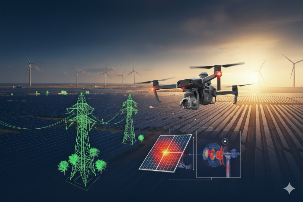
Thermal imaging drones are revolutionizing how asset health is monitored. By capturing temperature variations invisible to the human eye, we can detect issues long before they become failures.
At Pixroot Technologies, we deploy industry-leading drones such as the DJI Mavic 3T, Matrice 300 RTK with H20T payload, and Autel Evo MAX 4T — each equipped with advanced thermal sensors capable of pinpointing temperature anomalies with unmatched accuracy.
Applications of Thermal Drone Inspection:
- Powerline Monitoring:
Using high-resolution thermal sensors, we identify overheating connectors, damaged insulators, and faulty joints that could lead to power failures or safety risks. - Solar Panel Inspection:
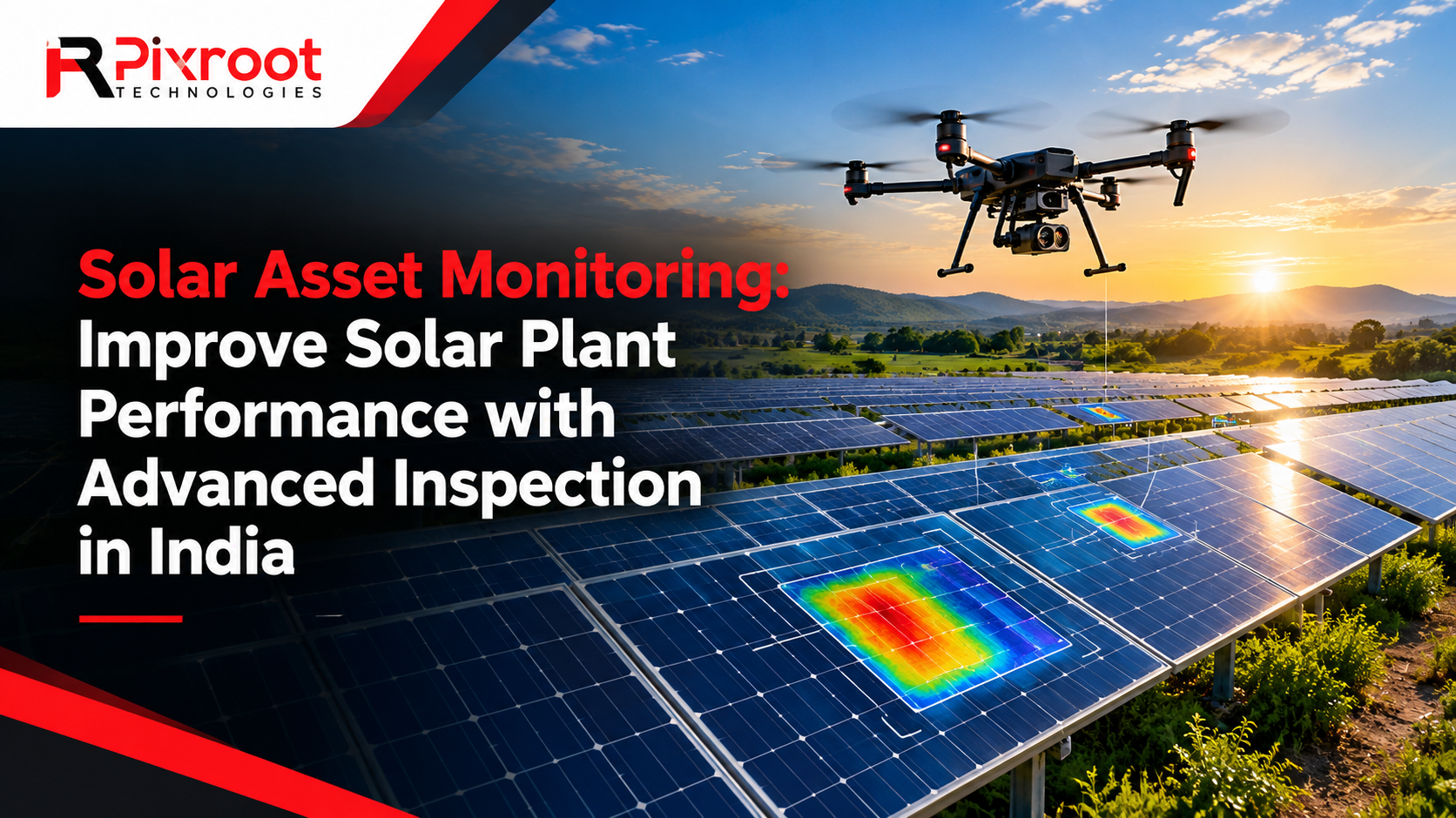
Our drones detect hotspots, microcracks, and defective cells caused by dirt, shading, or module failure. This helps O&M teams optimize performance and minimize energy losses. - Wind Turbine Inspection:
Thermal imaging enables us to locate overheating bearings, blade delamination, and generator faults, ensuring turbines operate efficiently and reliably.
Thermal data is processed and analyzed to create precise thermal maps and condition reports, empowering asset owners to take proactive maintenance decisions before costly breakdowns occur.
⚡ LiDAR Mapping for Powerline and Corridor Analysis
While thermal inspection focuses on surface-level faults, LiDAR (Light Detection and Ranging) goes deeper — generating millions of 3D data points to create detailed terrain and structure models.
At Pixroot Technologies, we use Riegl miniVUX and Livox Avia LiDAR sensors mounted on drones for powerline corridor mapping and infrastructure modeling.
Key Benefits of LiDAR Mapping:
- Sag Analysis:
Accurate conductor sag measurement is essential for maintaining clearance and ensuring safety standards. Our LiDAR data provides centimeter-level accuracy for compliance checks. - Vegetation Encroachment Detection:
LiDAR-based point clouds allow us to identify vegetation growth near powerlines that could cause outages or fires. Early detection enables timely trimming and clearance planning. - Clearance Optimization:
We generate detailed 3D models of towers, cables, and surrounding landscapes to ensure regulatory clearance from buildings, trees, and terrain obstacles.
These datasets are integrated into GIS platforms, giving clients access to interactive 3D visualization, asset mapping, and automated change detection for ongoing maintenance.
🌍 Why Choose Drone-Based Thermal and LiDAR Inspections?
The combination of thermal imaging and LiDAR mapping provides a holistic approach to asset monitoring — capturing both the visible and invisible aspects of infrastructure performance.
Key Advantages:
- 🚁 Faster data acquisition: Large areas surveyed within hours instead of days.
- 💡 High accuracy: Thermal + LiDAR fusion delivers precise insights.
- ⚙️ Cost-effective: Eliminates the need for cranes, scaffolding, or helicopter inspections.
- 🔒 Enhanced safety: Inspections carried out without risking human life in high-voltage or high-altitude zones.
- 📈 Predictive maintenance: Early detection of anomalies reduces unplanned downtime and repair costs.
Our team of skilled pilots and GIS experts ensure that every mission meets the highest standards of data quality, compliance, and operational safety.
🛰️ Integrated Drone Solutions Across India
Pixroot Technologies has executed drone-based inspection projects across India — from solar farms in Gujarat to powerline corridors in Assam, and wind farms in Tamil Nadu.
We support major clients including Indian Railways, Tata Power, NHAI, Adani, and CISF, delivering reliable aerial intelligence that drives smarter infrastructure management.
Our drones are not just capturing images — they’re capturing data that drives decisions. Every flight contributes to building a digital twin of India’s growing energy network.
💡 Data That Empowers Smart Decisions
The strength of our drone operations lies in our end-to-end data intelligence pipeline. After every mission, we process the data using advanced thermal analytics, LiDAR point cloud processing, and GIS visualization tools.
Clients receive comprehensive, actionable reports — including heatmaps, fault classification, sag measurement, vegetation analysis, and 3D digital models — enabling them to make confident, data-driven maintenance decisions.
🔋 Powering India’s Energy Future
At Pixroot Technologies, we believe drones are more than flying machines — they are tools of transformation. By integrating Thermal Imaging, RGB Mapping, and LiDAR Data, we’re helping industries move from reactive maintenance to predictive analytics.
As India accelerates toward renewable energy and smarter grids, drone technology will play a key role in ensuring sustainability, reliability, and efficiency.
Whether you’re an EPC company, O&M service provider, or utility operator, partnering with Pixroot Technologies ensures your assets stay safe, efficient, and future-ready.
🚀 Ready to Transform Your Asset Inspection?
If you’re looking to modernize your inspection process with Thermal and LiDAR Drone Solutions, connect with our team today.
📞 Contact us: www.pixroottechnologies.com
📧 Email: info@pixroottechnologies.com
Let’s build smarter, safer, and more sustainable infrastructure — one flight at a time.